A reality
centre in the field of GIS applied to environment and agronomy :
![]()
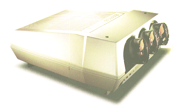
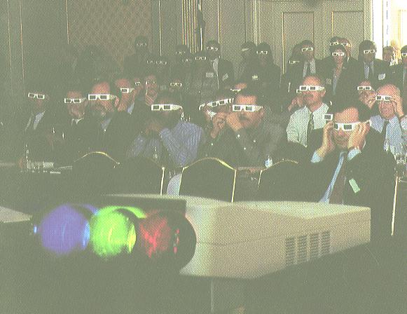
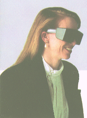
ENSAR (a teaching establishment of the French Ministry of Agriculture which operates a five year course in Agronomy for 500 students) has acquired a reality engine ("Onyx2 Infinite Reality" with 512 Mo RAM and 64 Mo raster manager from Silicon Graphics Inc.) to equip a reality centre. The reality engine will be linked to a video-projector for projection on a large-size screen. In a second step, the reality centre will use stereo-visualization. (image1 image2)
The reality centre is developed within a laboratory (Laboratoire de Spatialisation Numérique) of ENSAR that handles GIS applied to the environment and agronomy: This laboratory works also in cooperation with another laboratory involved in the field of remote sensing and image processing, which also belongs to the spatial data processing group of ENSAR.
The work of the "Spatialisation Numérique"
laboratory is focused on: estimating nitrogen budgets on the scale of administrative
and catchment areas, assessing nitrogen fluxes and concentrations as well
as auto-purification of water, mapping and modelling of waterlogged flood
plains, in addition to modelling and risk analysis of pesticide use. Funding
partners of the laboratory in this work include the French Ministry of
Agriculture, Brittany Regional Council, environmental and agricultural
administrations, water authorities and other regional and local bodies.
The new reality engine for VR applications come on top of equipment composed of eight work stations on UNIX, two large-size scanners, a large-size plotter and other devices linked together by a rapid CDDI-type network (100Mbit/s).
The spatial modelling of drainage patterns, catchment basins and sub-basins, nitrogen fluxes, spatial modelling of waterlogged valley bottoms, etc.) is developed through the use of Digital Elevation Models and Digital Terrain Models.
The main databases available at the laboratory are a DEM with 20 m and 50 m grid steps of the whole of Brittany, a vector database of the drainage pattern, soil vector data covering 200,000 ha at a scale of 1:25,000 for Brittany and SPOT orthogonal images of the whole of Brittany.
The VR application involves virtual flight using large data bases (about 25 million textels) of Brittany at different scales. The possibilities of the raster manager allow a virtual flight over the whole of Brittany in a single path with the resolution of a 40-m grid step. With a 20-m grid resolution, it is necessary to split the Brittany database into five squares of 100 km x 100 km. With a 10-m grid resolution, it is necessary to split the Brittany data base into about 20 squares of 50 km x 50 km. As regards high-resolution spatial data derived from aerial photography yielding images composed of 2-m sized textels, the raster manager enables a virtual flight over an area of 10 km x 10 km. The size of the over-flight area will be increased in future work by means of optimization algorithms.
The reality centre is supported by the
Regional Council of Brittany, which is interested in using VR capacities
to comunicate in a highly efficient and visual way with several kinds of
public on environmental problems encountered in the Brittany region. The
audience includes national, regional and local representatives, administrations
involved in agriculture and the environment, farmers, agricultural technicians,
as well as students and researchers in agronomy and environmental sciences.
![]()